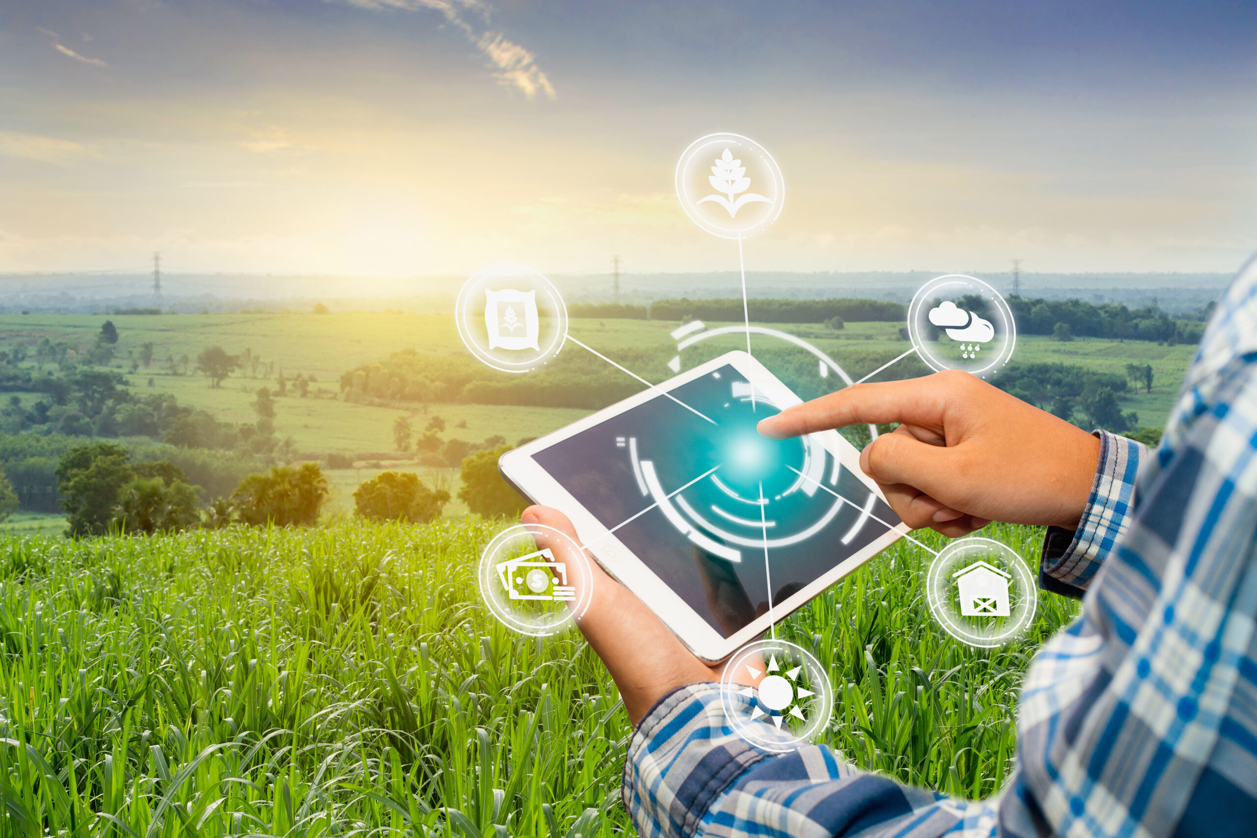
SASRI’s programme of work includes the research and development of tools related to Digital Agriculture for potential adoption within the sugar industry. The term Digital Agriculture refers to the use of multiple technologies to enhance planning, monitoring, and managing operational and strategic activities on the farm. Technologies include field sensors, remote sensors, UAVs (drones), global positioning systems (GPS), digital mapping, internet and connectivity, cloud computing, big data, machine learning, as well as deep learning, mobile applications and digital platforms.
Remote Sensing
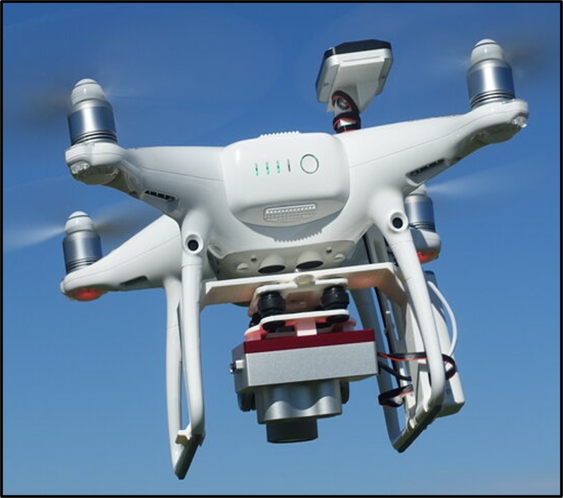
Remote sensing, a key component of Digital Agriculture, utilises several platforms: satellite, aerial (e.g. manned aircraft, helicopters, and drones), and terrestrial (e.g. meteorological stations and soils sensors). Satellite and aerial platforms are deployed with specialised sensors (cameras) that capture images across various regions of the electromagnetic spectrum. Spatial resolution is a key consideration in remote sensing of agriculture. For field-level applications, e.g. yield mapping, a spatial resolution of 1 m up to 10 m may be suitable. However, for more precise applications such as stress detection and nutrient mapping, a spatial resolution of 5 cm up to 50 cm may be required. High spatial resolution imagery from satellites, manned aircraft, and drones are necessary for the implementation of precision agriculture.
Precision agriculture
Precision agriculture involves the implementation of tailored crop management strategies to suit the variability within and between fields. Georeferenced data, acquired via remote sensing and global positioning system (GPS), are fundamental to the implementation of precision agriculture. These can be integrated with biophysical (soil, plant, and landscape) and climate data to develop a crop management strategy. Georeferenced data is often analysed in a Geographic Information system (GIS) to produce digital maps. Integrating remote sensing with GIS and advanced analytical tools such as machine learning provides a powerful framework and suite of tools to optimise sugarcane production.
Current Projects
At SASRI, various digital technologies such as drones, GPS, and satellites are being evaluated within applications such as crop health monitoring and harvest scheduling. Key research projects within SASRI’s current programme of work include:
- rapid collection of biosecurity data to enable the development of a biosecurity operational dashboard
- precision sugarcane quality management via UAVs
- detecting nitrogen deficiency to assist with optimising fertiliser application
- identifying the digital fingerprint for yellow sugarcane aphid (YSA) to enable remote detection and monitoring via UAVs and/or satellites
- an early warning system for YSA (i.e. detection prior to crop symptom expression) using satellite and biophysical data
- sugarcane monitoring and yield estimation
- sugarcane quality and yield traits for indirect selection during early stages of the breeding programme.
SASRI’s research in this area is focussed on developing and testing innovative solutions, proving that these digital tools can work in real-world farming scenarios. While we may not directly provide services to growers, their successful proof of concept paves the way for commercial applications that can eventually benefit agricultural practices.